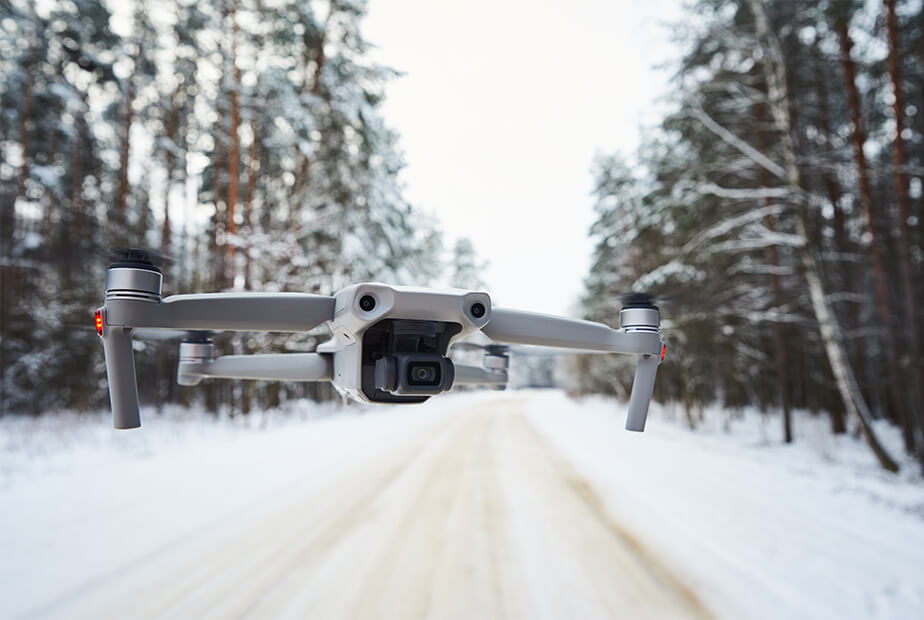
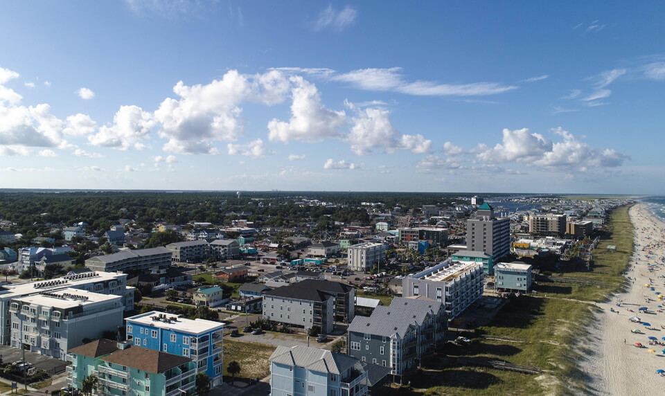
The third reason commonly cited for purchasing a drone is mapping. This isn’t as much about the condition of plants growing on the ground as it is the ground itself — the overall lay of the land. Through photogrammetry (discussed in part I) and a drone’s built-in camera, precise maps can be produced and analyzed, aiding in all types of physical measurements and calculations for distance, area and even volume. Because this application is extremely data-driven, concentrating on software used for image processing should be the focal point for purchasing decisions.
Golf courses are beautiful. However, it is not always easy to show the overall beauty of a golf course using just ground videos.


